USA TODAY Ask the Experts
The following are answers Sean provided to “Ask the Experts” questions submitted by readers of the USA TODAY weather page from 2005-2007. The answers appeared both in both the print and online editions of the paper, with the online versions typically longer and more detailed. (The images here did not originally appear with the answers.)
-
![]()
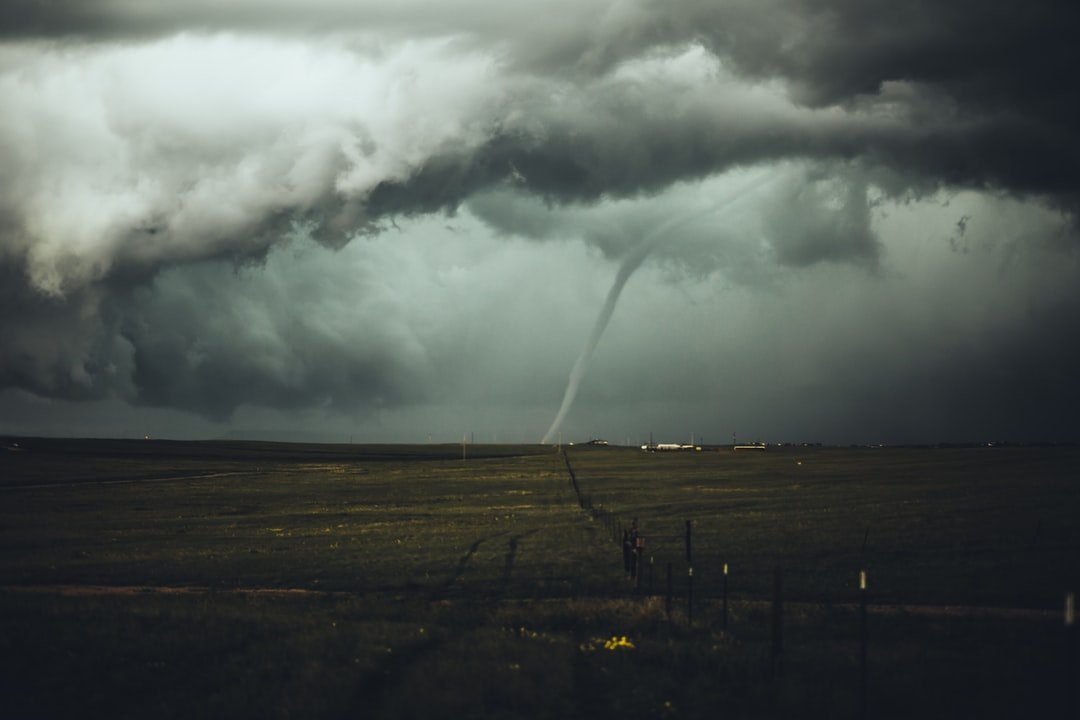
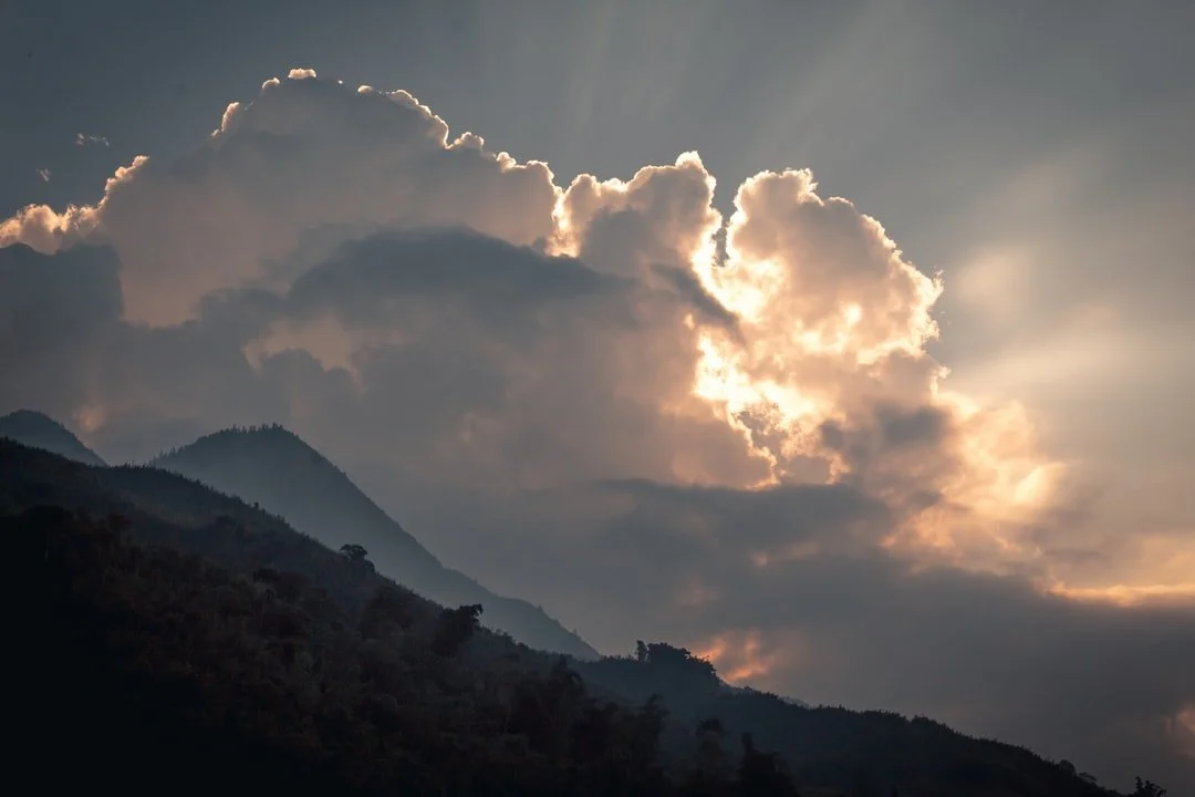
What happens when a tornado encounters a change in elevation?
Although tornadoes often travel unabated for miles along flat, open terrain, they can cross canyons, climb hills and even traverse rivers. One example of a tornado changing elevation suddenly was in Wyoming in July 1987. The tornado went from an elevation of 7,800 to 10,070 feet above sea level over a distance of 7 miles as it crossed the Continental Divide, although it weakened considerably as it moved to a higher elevation.
-
![]()
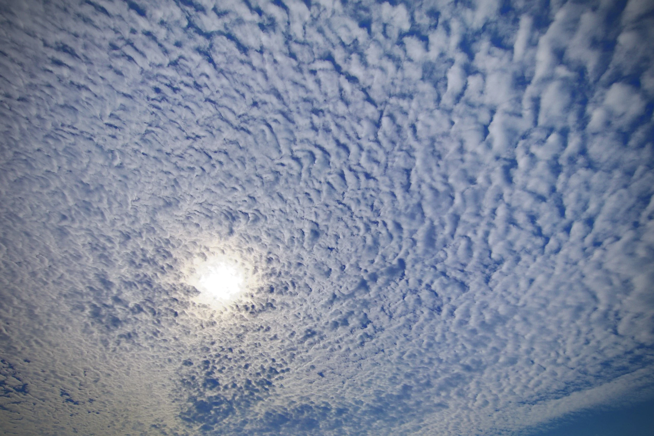
What is meant by a mackerel sky?
The term refers to a sky filled with cirrocumulus or altocumulus clouds that are arranged in a wavelike pattern with small gaps in between, so that their appearance resembles the scales of a mackerel fish. In Germany, these clouds are known as Schäfchenwolken, or “little sheep clouds,” because of their fleecy appearance.
-
![]()
What is a scud cloud?
Scud clouds are low, ragged cloud fragments that are sometimes visible below the base of a thunderstorm. Although they do not produce severe weather, scud clouds are often mistaken for wall clouds, funnel clouds and even tornadoes. They are formally classified as stratus fractus or cumulus fractus clouds.
-
![]()
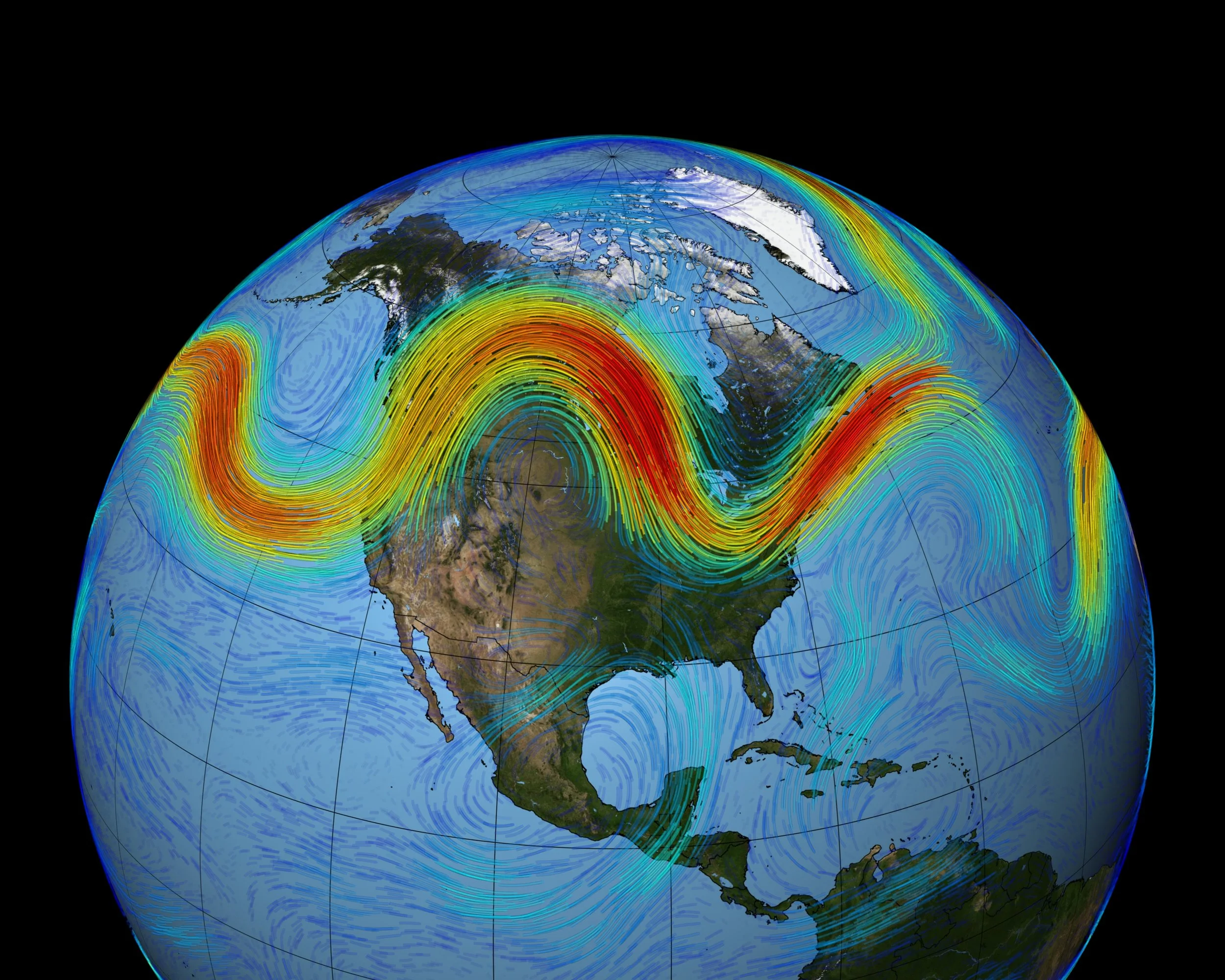
How many jet streams are there?
Although the most commonly referred-to jet streams above North America are the polar front jet and the subtropical jet, a jet stream can technically occur anywhere in the upper atmosphere when wind speeds exceed about 58 mph. Wind speeds in jet streams average about 110 mph, although they can reach as high as 300 mph. Another jet stream is the tropical easterly jet, which occurs between India and the equator in July and August.
-
![]()
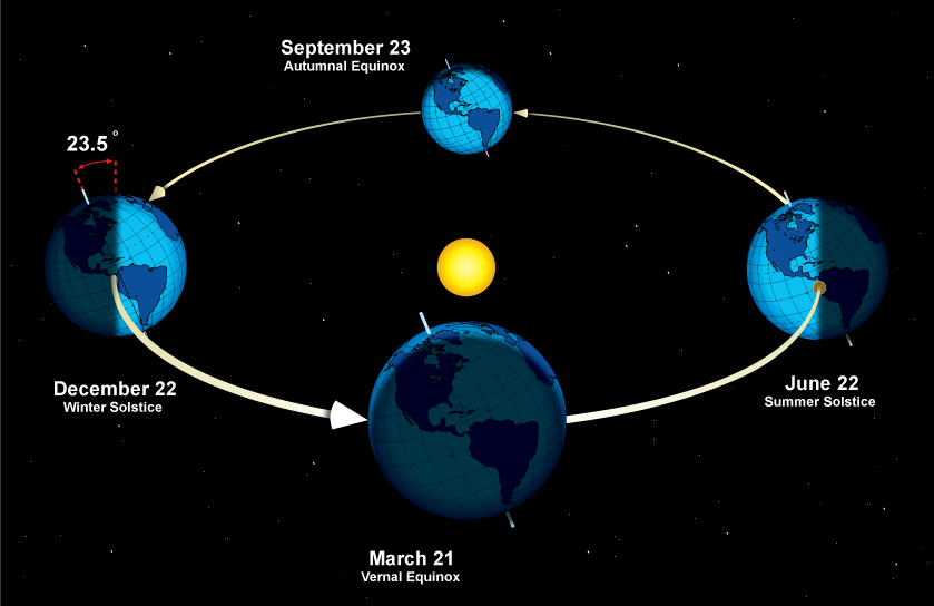
I know the Earth’s tilt causes the seasons to change. But what causes the Earth to tilt?
The amount of tilt of a planet, known as its obliquity, varies from about 0° for Mercury to nearly 178° for Venus. Earth’s obliquity, currently about 23.5°, varies between 22.1° and 24.5° over a period of about 40,000 years. One possible explanation for a planet’s tilt is impact with another object early in its formation.
-
![]()
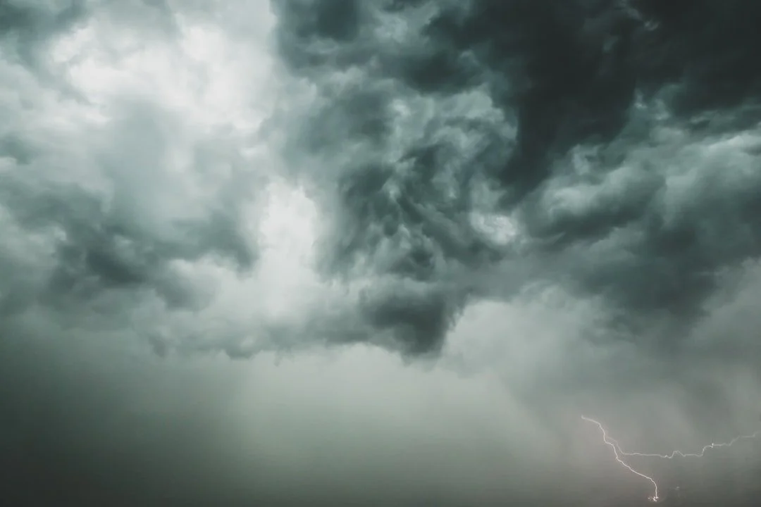
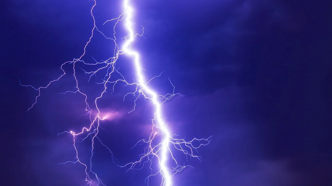
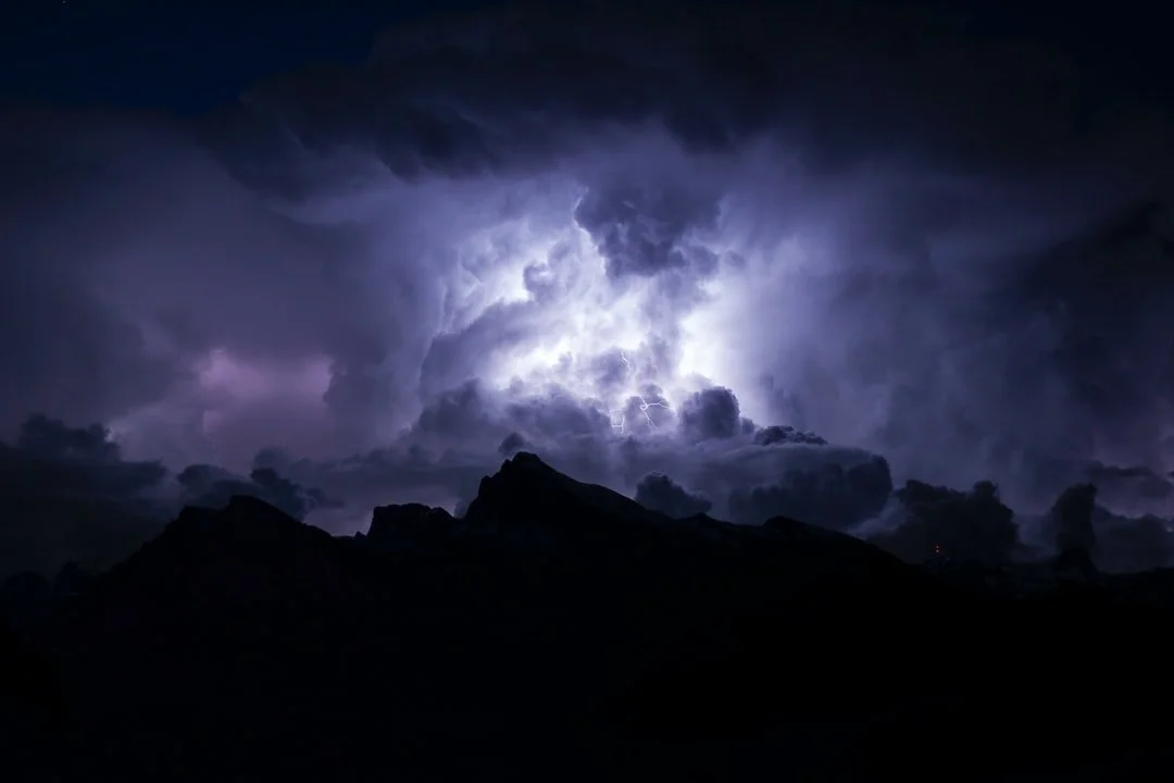
Where does lightning come from?
Lightning comes from the difference in electrical charges that occur within thunderstorm clouds or between a cloud and the ground. As a thunderstorm top grows, positively charged particles gather near the cloud top and the ground while negatively charged particles gather near the cloud’s base. When the difference between these particles gets large enough, an electrical discharge occurs in an attempt to equalize the charge separation. This is lightning.
-
![]()
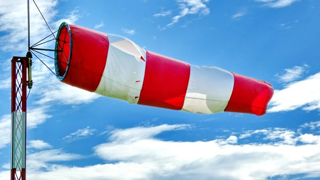
Is there a prevailing wind direction across the USA?
Prevailing wind direction—defined as the wind direction most frequently observed at a location over a certain period—varies for different locations across the USA, depending on local topography, season, and other factors. Based on surface data from more than 300 National Weather Service reporting stations, the most common prevailing wind direction on an annual basis in the USA is from the south.
-
![]()
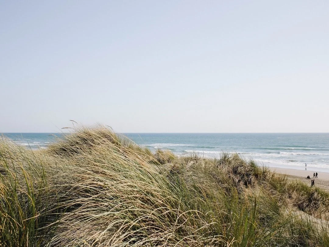
Why do coastal areas in summer experience sea breezes, but only seldom land breezes?
To experience a land breeze, you generally have to wait until after sunset when land onshore begins to cool down more quickly than the water offshore, creating higher pressure over land and an offshore flow—a land breeze. Land breezes tend to be weaker than sea breezes and generally affect smaller areas. If water remains cooler than the land at night, due to ocean upwelling for example, a land breeze may not form at all.
-
![]()
Why do clouds often hide the sun, but don’t cause darkness in the day?
Sunlight that hits a cloud is reflected, absorbed or transmitted. The amount transmitted is what reaches the Earth's surface and depends on the thickness of the cloud. Thick thunderstorm clouds, for example, reflect or absorb most sunlight, but unless they completely cover the sky, sunlight will still reach the ground from other parts of the sky. During extremely severe thunderstorms, however, thick clouds that cover the entire sky can block out almost all sunlight, creating near darkness.
-
![]()
What is a sea breeze?
On clear, calm days during the spring and summer, as the land near the coast heats up more rapidly than the water offshore, the air above the land becomes less dense and rises. This results in lower pressure over the land and higher pressure over the water, causing air to blow onshore, creating a sea breeze. At night, because the land tends to cool more quickly than the ocean, a reverse wind, known as a land breeze, often occurs.
-
![]()
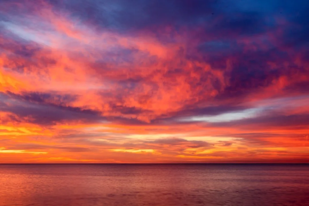
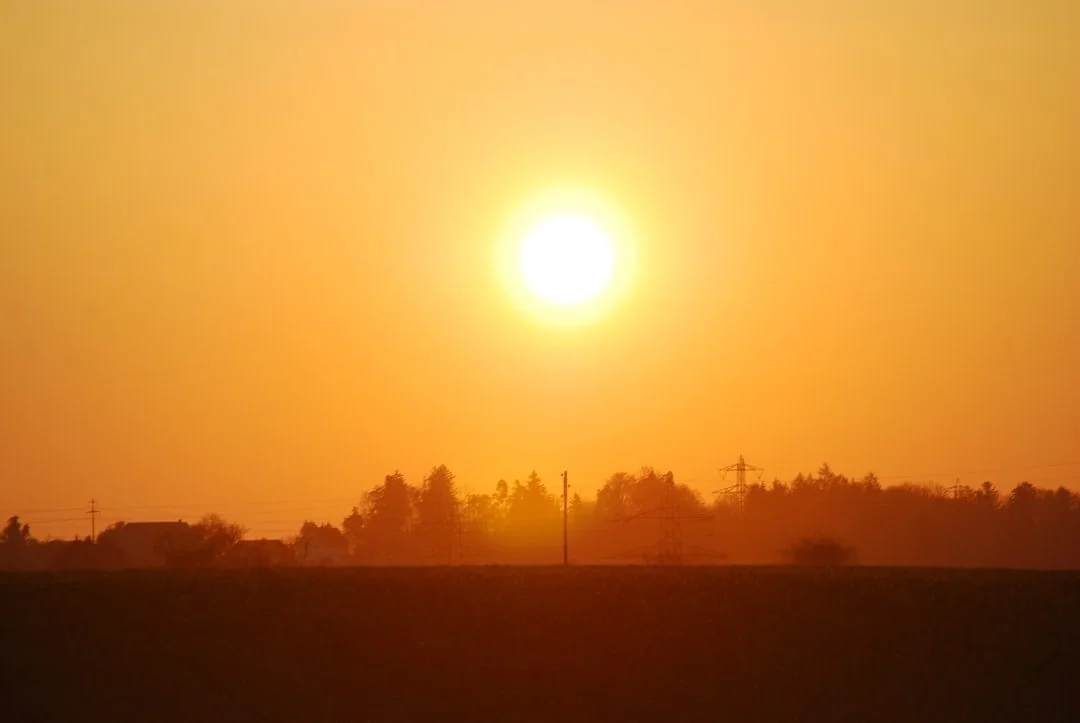
Why are some sunset skies bright orange and red, while others are not?
The most brilliant sunsets are often due to the presence of particles larger than air molecules—such as smoke, dust or ash—in the atmosphere. These particles help scatter out the blue, green and violet portion of sunlight, resulting in sunsets that look more orange and red than they would otherwise. The 1883 eruption of Krakatoa in Indonesia, for example, may have created the brilliant red and orange sunsets that inspired Edvard Munch’s painting “The Scream.”
-
![]()
Can it ever be very humid and very cold at the same time?
It’s possible. On January 20, 2001, for example, St. Cloud, Minn., reported a temperature of -11°F with a relative humidity of 91%. Relative humidity measures how close the air is to being saturated with water vapor, but not necessarily how much moisture is in the air. Cooling the air without adding or removing water vapor results in higher relative humidity, although at low temperatures the actual amount of water vapor in the air would also remain low.
-
![]()
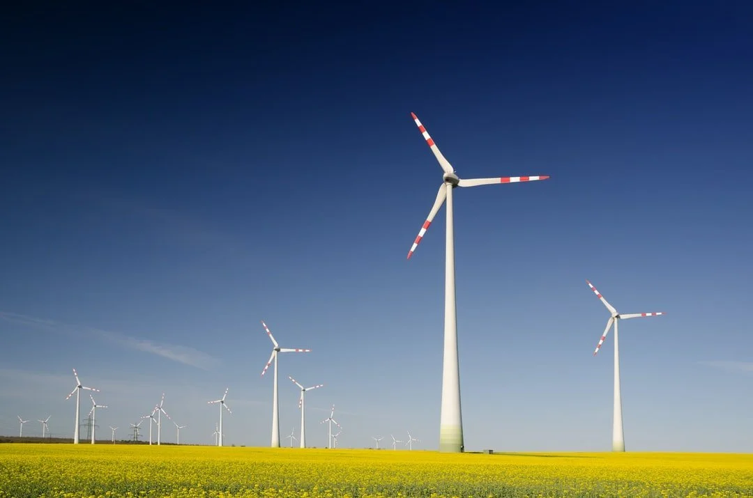
What causes wind?
Changes in atmospheric pressure at the Earth’s surface cause wind. Air flows from areas of high pressure toward areas of low pressure. The greater the difference in pressure between the high- and low-pressure areas—known as the pressure gradient force—the stronger the wind. Other forces that affect the wind at the Earth’s surface include the Coriolis force (a result of the Earth’s rotation) and friction.
-
![]()
What is a “heat low?”
A heat low, or thermal low, is a low-pressure area that develops from intense heating of the Earth’s surface by the sun. They often form in semi-arid regions, such as the Desert Southwest, where daytime high temperatures can reach 100° or higher in the summer. Heat lows typically remain stationary and are not as well-defined as the typical low-pressure areas that develop as parts of storms.
-
![]()
Has the barometric pressure or wind speed ever been measured in a tornado? What were the measurements?
While it is very difficult to measure pressure and wind speeds inside a tornado, severe storm researchers have been able to do so using specialized equipment and by being in the right place at the right time. A small probe placed on the ground recorded a pressure drop of 100 millibars (2.95 inches of mercury), from about 950 millibars to about 850 millibars, as an F4 tornado passed overhead near Manchester, South Dakota, on June 24, 2003. On May 3, 1999, researchers used a portable Doppler on Wheels (DOW) radar unit to measure tornado wind speeds of 318 mph at a height of about 160 to 320 feet above the ground during a major outbreak in the Oklahoma City area.
-
![]()
Is there such a thing “heat lightning” and if so, how is it formed and how is it different from bolt lightning?
The term “heat lightning” is actually a misnomer. It refers to lightning that occurs so far away—usually 10 miles or more—that the observer can not hear any thunder. The term likely originates from the fact that such observances occur during “air mass” type thunderstorms that develop during the late afternoon or evening hours of hot summer days.
-
![]()
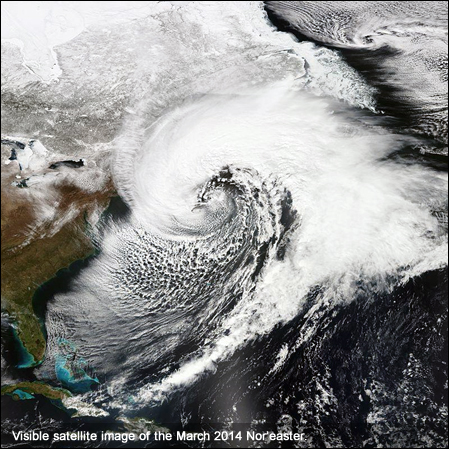
Why are “Nor’easters” such powerful storms?
Nor’easters (also known as northeasters) get their power from the deep low pressure centers that form the core of these storms. Nor’easters develop as low pressure systems off the southeast coast of the United States during the fall, winter and early spring. As they move up the Atlantic coast, they draw energy from the evaporation of relatively warm waters offshore of the Gulf Stream. The interaction of these systems with cold air masses from Canada associated with areas of high pressure can further intensify the storms.
-
![]()
Immediately prior to a rainfall what holds the water in the clouds? What triggers it to fall?
Because they’re so small, cloud droplets (the tiny droplets of water that make up clouds) fall very slowly and are unable to overcome the updrafts that keep clouds suspended. Raindrops—which form either from cloud droplets colliding and coalescing with one anther or from snowflakes melting high in the atmosphere—are 100 times larger than cloud droplets and contain a million times as much water, making them large enough and heavy enough to overcome the updrafts and fall to the ground.
-
![]()
How fast does air cool as it rises in elevation? Is there a formula to figure how much cooler it is at the top of a mountain than at the bottom?
The rate at which air cools as it rises—what’s known as the environmental lapse rate—varies from day to day and location to location. However, as a general rule of thumb, the average environmental lapse rate of 3.5°F/1,000 ft. (6.5°C/1,000 m) should provide a good estimate of how much cooler it would be at the top of a mountain.
-
![]()
What is the Beaufort scale, and what does it measure?
The Beaufort scale is a system developed in 1805 by British Admiral Sir Frances Beaufort to estimate the force of wind on a scale from 0 (calm) to 13 (storm). In 1807 Beaufort combined the first two categories so that the scale went from force 0 to 12. In 1906 British meteorologist Sir George Simpson developed a land-based version of the Beaufort Scale. The scale is still in use around the world and was the basis for the 2004 book Defining the Wind, by Scott Huler.
-
![]()
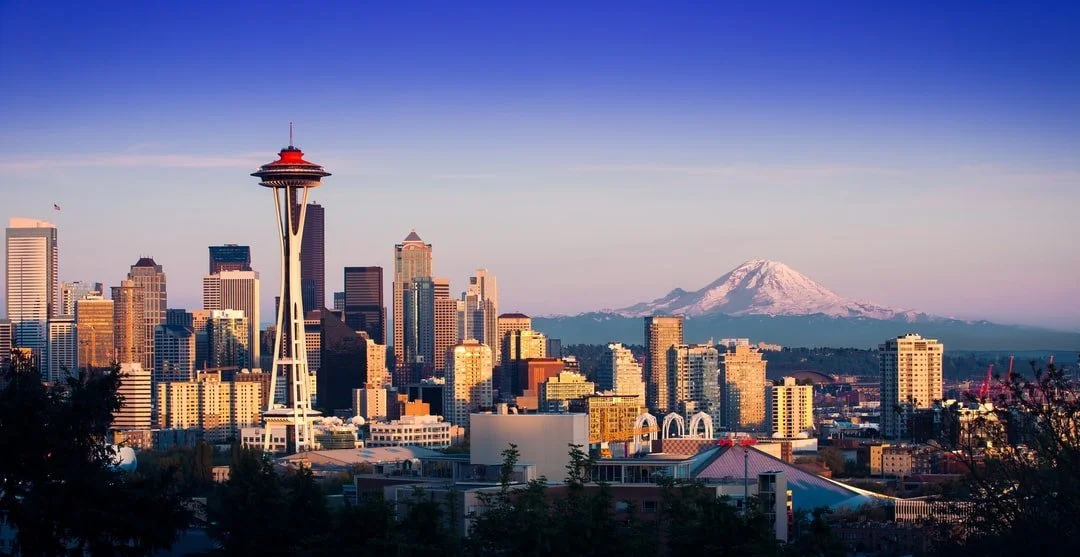
I’m interested in places in the continental USA that have the least fluctuation in barometric pressure over the course of the year. I’ve read in one of your questions and answers that San Diego has the most steady barometric pressure. What are some others?
Analysis of monthly mean pressure from more than 230 National Weather Service stations across the continental United States reveals that the location with the least fluctuation is Seattle, Wash., with a difference of 0.05 inches of mercury between its highest and lowest months. Other cities with little fluctuation in monthly mean pressure include Astoria, Ore., Olympia, Wash., and Sault Ste. Marie, Mich.
-
![]()
How are clouds suspended in the air?
Clouds stay suspended in air due to the fact that the tiny water droplets or ice crystals of which they’re composed fall very slowly compared to the air currents and updrafts that flow through clouds. These cloud droplets are constantly forming and evaporating within a cloud, allowing its shape to change.
-
![]()
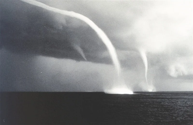
How common are tornadoes in the Caribbean?
Tornadoes are rare on the islands of the Caribbean, but not unheard of. On September 18, 2004, a tornado touched down on Aruba, ten days after Hurricane Ivan passed just north of the island. Ironically, this was the same day that the local weather radar became operational after being inoperative for several years. According to at least one report, it was the first time a tornado had been observed on the island since the late 1800s.
-
![]()
What U.S. cities have a combination of being at a somewhat low altitude, with dry and mild climates? For health reasons, we would like to explore our best choices
Cities that meet these criteria include Eureka, Los Angeles (especially outside of of the city center), Santa Barbara, San Diego, and San Francisco, all in California, each of which lies below 1,000 ft. and typically receives less than 30 in. of rain per year or has more than 10 days each year with temperatures of 90°F or above or 32°F or below.
-
![]()
Is it easier to predict rain precipitation or snow precipitation? Or is there no difference?
By far, snow presents a greater challenge to forecasters than does rain. This is because, in addition to the occurrence, timing, and location of the precipitation—which must be accurately forecast for both types—snow forecasts must include the amount of snow depth, which depends on the density of the snow that falls.
-
![]()
Is International Falls, Minnesota, the official “Icebox of the Nation”? One source claimed that Tower had the record with a temperature -60 and Embarrass only -57, another source said Embarrass had hit -64, which location is the nation’s true cold spot?
While International Falls may be able to claim the title of “Icebox of the Nation,” after settling a two-year legal dispute with Fraser, Colo., in 1989, the lowest temperature on record there (-55°F) is not as cold as the official lows for Embarrass (-57°F) or Tower (-60°F). The -64°F reading at Embarrass is unofficial. The location that has recorded the lowest temperature in the nation (outside of Alaska) more often than anywhere else is Stanley, Idaho, which has done so 478 times since April 1995.
-
![]()
How thick does a cloud have to be before it’s visible to the human eye?
Generally, high cirrus clouds, such as cirrostratus, are the thinnest clouds visible to human eyes. These clouds form at altitudes of 20,000-40,000 ft. (12-16 km) and are typically about 3,300-6,600 ft. (1-2 km) thick. At least one study, however, suggests that cirrus clouds can be as little as about 1,300 ft. (400 m) thick and still be visible by human observers on the ground. As clouds become thinner, our ability to visually detect them diminishes.
-
![]()
What are the cloudiest states? And the least cloudy states?
One way of determining this would be to average the mean number of days per year with sky cover reported as predominately cloudy or clear for several representative cities in each state. Based on this method, the states with the greatest number of cloudy days are (in decreasing order): Alaska, Washington, Vermont, New Hampshire, and West Virginia. The states whose cities report the greatest number of clear days are (in decreasing order): Arizona, California, New Mexico, Nevada, and Utah.
-
![]()
What is the coldest recorded wind-chill temperature?
According to the 2005 book Extreme Weather: A Guide and Record Book, by Christopher Burt, the world’s coldest recorded wind chill may have been observed on July 4, 2003 (during the peak of the Southern Hemisphere winter) when an automated weather station on Queen Maud Land in east Antarctica measured a temperature of -94°F and a wind speed of 75 mph. While Burt claims this would result in a wind chill of -150°F, according to the new wind chill index implemented by the National Weather Service in 2001, this combination of temperature and wind speed yields a wind chill -174°F.
-
![]()
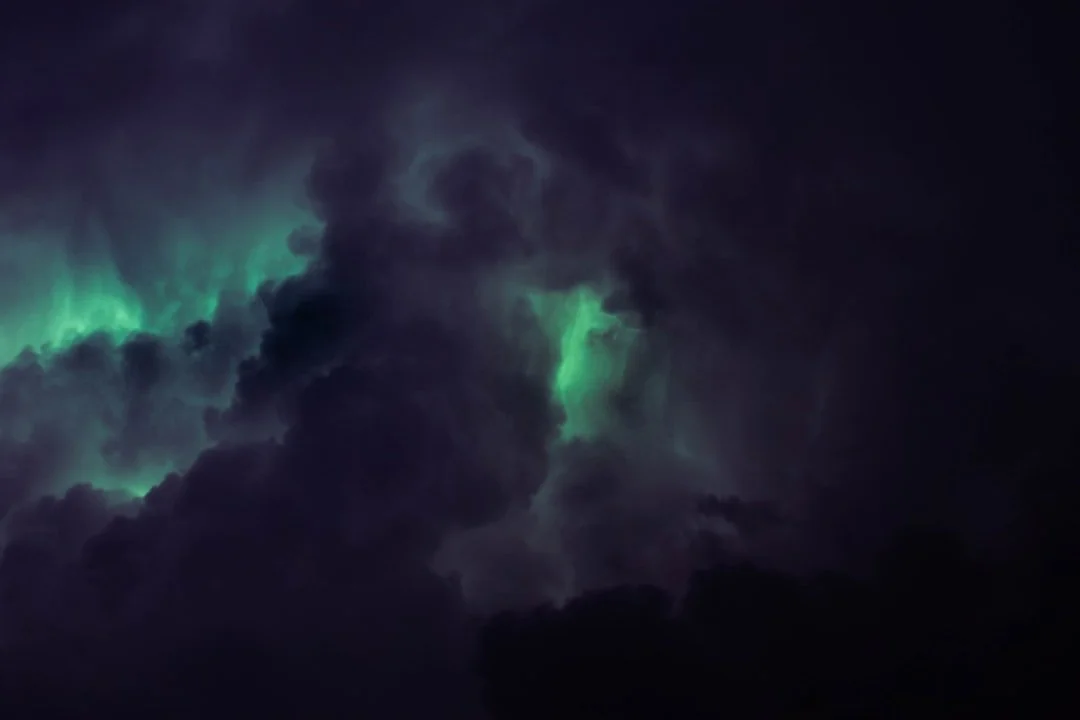
Why does the sky sometimes turn green when a tornado approaches?
While the exact reason why some thunderstorms appear green may not entirely be known, researches have confirmed the existence of this phenomenon to validate the anecdotal evidence that has surfaced over the years. It has not been determined, however, whether all severe thunderstorms appear green at some point. Leading hypotheses suggest that the green color may come from the combination of blue light—created from either the scattering of light off of air molecules in front of the thunderstorm, or from the scattering of light off of rain or hail inside the clouds—and reddish sunlight that appears at the time of sunset.
-
![]()
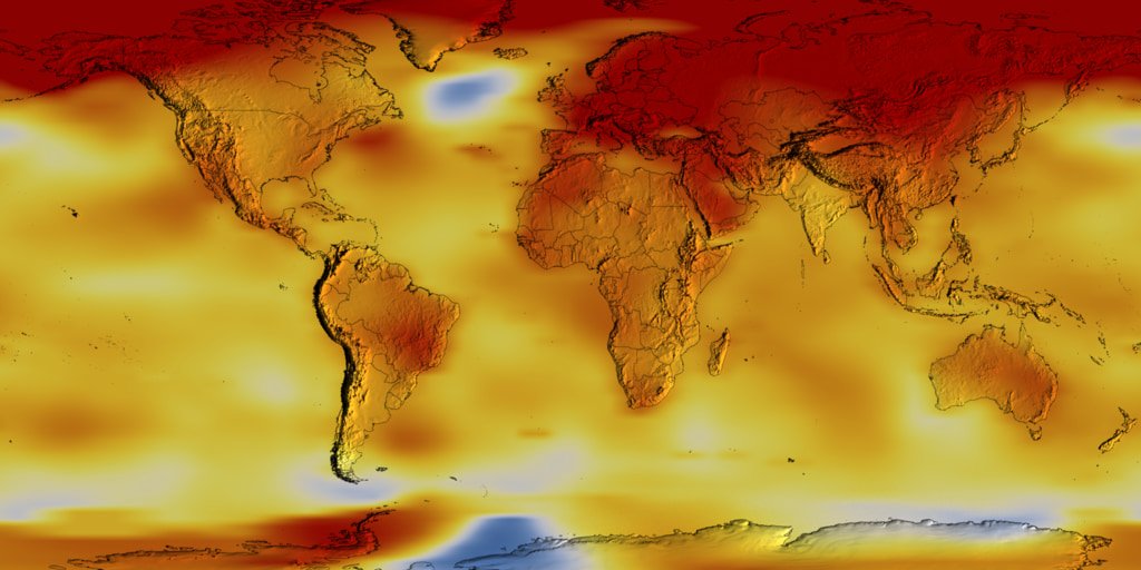
How do scientists measure the overall temperature of the Earth? Is it an average of temps at different places? If so, how can this compare with temps of 100 years ago, unless the temps of the same places were recorded?
Scientists determine the average surface temperature of the Earth by examining data collected at thousands of land-based observing sites around the globe, combined with sea surface temperatures made by ships and buoys around the world and, more recently, satellite data. These measurements are complied each month to produce an estimate of the global average temperature. More important than the actual temperature value each month, scientists look at how temperature anomalies—or differences compared to long-term averages—have changed over time, which is more representative of a larger area and less susceptible to changes in individual station location and other factors.
-
![]()
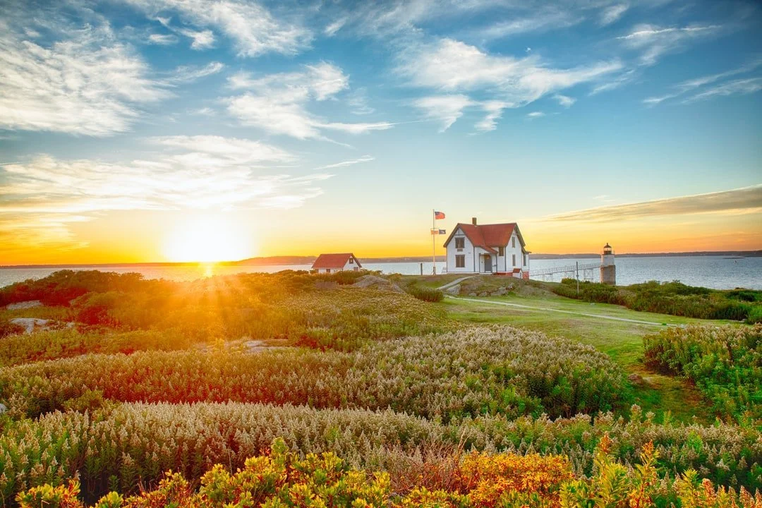
Which spot in the USA sees the first sunrise of the day? A mountain in Maine? And is the last sunset in Hawaii? Do these spots vary through the year?
Depending on the time of year, the location in the U.S. (excluding U.S. territories) that sees the earliest sunrise will be either Cadillac Mountain, West Quoddy Head Lighthouse in Lubec, and Mars Hill, all in the state of Maine. For major metropolitan areas, the location varies between Miami Beach and Boston. The latest sunset occurs throughout the year on Attu Island, Alaska, sometimes as late as 11:57 p.m. local time.
-
![]()
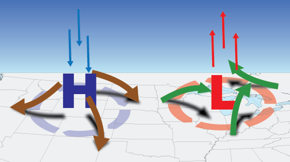
What is the mechanism that causes the winds to blow as they do around high and low pressure areas?
Winds near Earth’s surface rotate counterclockwise toward the center of areas of low pressure and clockwise outward from the center of areas of high pressure in the Northern Hemisphere, with and opposite flow occurring in the Southern Hemisphere. The main reason for this pattern is the Coriolis force, which results from Earth’s rotation on its axis and deflects wind to the right in the Northern Hemisphere and to the left in the Southern Hemisphere.
-
![]()
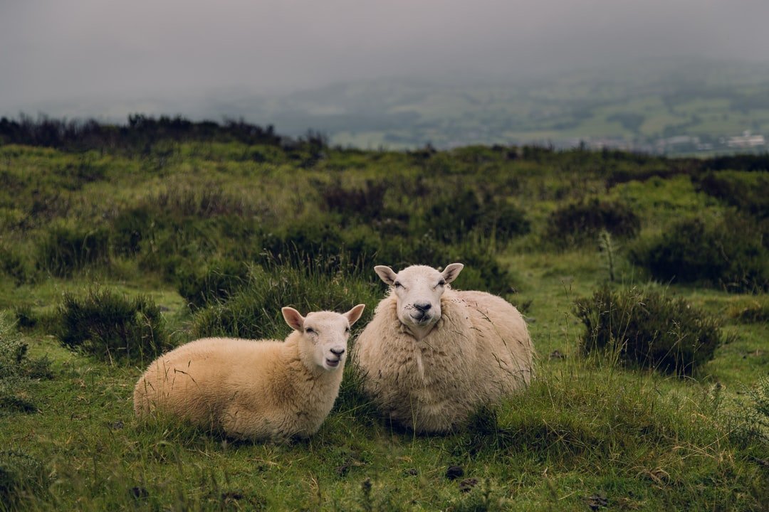
I’ve noticed that farm animal behavior changes as severe storms approach. What is it they’re sensing?
Most likely, they’re sensing a change in barometric pressure and other environmental conditions that would accompany a storm. While there is documented evidence of animals and insects reacting to approaching rain showers, severe storms, hurricanes, and even earthquakes—sometimes in advance of humans—it is unlikely that they possess a “sixth sense” about the weather. Rather, they are simply more sensitive to subtle changes in the environment than we are.